Title: USDA-NRCS-FPAC BC GEO Digital Ortho County Mosaic
Originator: U.S. Department of Agriculture, Natural Resources Conservation Service
Abstract:
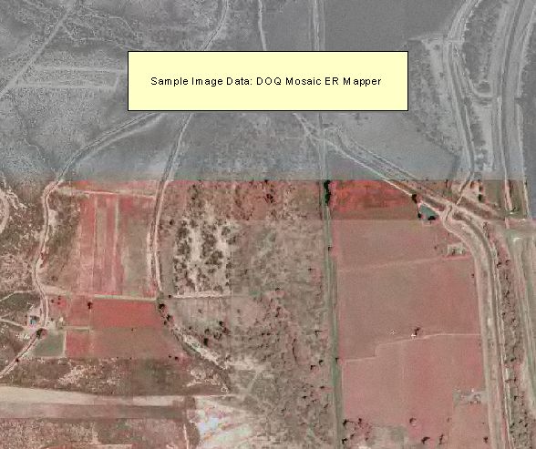
Orthophotos produced through the National Digital Ortho Photo Program (NDOP) combine the image characteristics of a photograph with the geometric qualities of a map. The digital orthophoto quad (DOQ) is a 1-meter ground resolution, quarter-quadrangle (3.75-minute of latitude and 3.75-minute of longitude) image cast on the Universal Transverse Mercator Projection (UTM) in the North American Datum of 1983 (NAD83). The normal orientation data is by lines (rows) and samples (columns). Each contains a series of pixels ordered from west to with the order of the lines from north to south. The radiometric image values are stored as 256 gray levels ranging 0 to 255. In counties that are split by UTM zones, orthophoto quads are reprojected into the predominate zone.
Format: Raster - ER Mapper was used to mosaic and compress digital orthophoto quadrangles (DOQQ’s) that cover a county. 8-bit pixels represent brightness values 0 - 255
Spatial Reference Information: Universal Transverse Mercator, North American Datum of 1983