Title: Census TIGER 2015 State and County Demographic Statistics by State
Originator: U.S. Department of Commerce, Bureau of the Census
Abstract:
These national level geospatial layers join the geometry and selected attributes from the 2010 Census TIGER/Line Shapefiles and the 2015 Census Summary File 1 Demographic Profile (DP01) for the United States and Puerto Rico. They contain data items such as total population, total housing units, median age, population 16 years and over, population 65 years and over, race, relationship, average household size, and many others.
The TIGER/Line Files are shapes and related database files that are an extract of selected geographic and cartographic information from the U.S. Census Bureau's Master Address File/Topologically Integrated Geographic Encoding and Referencing (MAF/TIGER) Database (MTDB). The MTDB represents a seamless national file with no overlaps or gaps between parts, however, each TIGER/Line File is designed to stand alone as an independent data set, or they can be combined to cover the entire nation. The boundary information in the TIGER/Line files are for statistical data collection and tabulation purposes only; their depiction and designation for statistical purposes does not constitute a determination of jurisdictional authority or rights of ownership or entitlement.
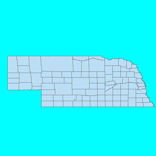
The product is delivered as a file geodatabase by state, with two separate feature classes:
• County - Provides county level boundaries and demographic information for each county in a state in the U.S. states.
• State - Provides state level boundaries and demographic information for each of the U.S. states.
Also included within the geodatabase is a separate table that defines the field names in the attribute tables.
For further information, see the census geography page at https://www.census.gov/geo/maps-data/data/tiger-data.html
Format: vector polygons - ESRI File GeoDataBase
Spatial Reference Information: Decimal Degrees, North American Datum 1983