Title: Raster Soil Survey
Originator: USDA - NRCS
Abstract:
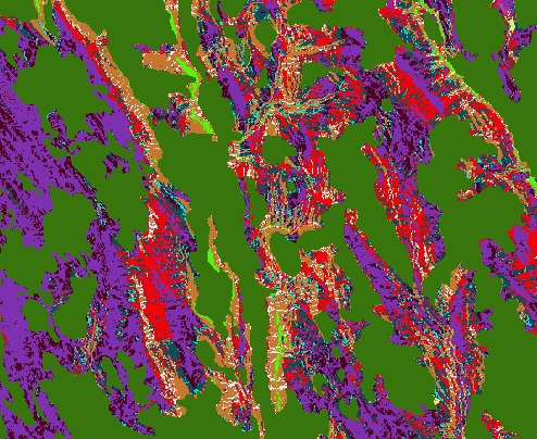
A raster soil survey more precisely represents soil concepts on the landscape than the traditional vector soils product (SSURGO). Digital soil mapping techniques and tools that enlist the expert knowledge of soil scientists are used to develop a raster soil survey.
Raster data is a cell based matrix organized into rows and columns. They typically possess a uniform cell size along the X and Y axes. Each cell represents a specific value. In a raster soil survey the cell value is assigned to a class in the soil survey legend. The legend classes correspond to traditional SSURGO soil map unit components. These soil components can represent soil series, phases of series, or other soil taxonomic units.
The tabular data represent the soil attributes and are derived from properties and characteristics stored in the National Soil Information System (NASIS).
The raster and tabular data have a county-wide extent. Each cell is linked to a map unit identifier called the map unit key (MUKEY).
For additional information on National Cooperative Soil Survey in your State, please contact the U.S. Department of Agriculture, Natural Resources Conservation Service, State Soil Scientist. Their contact information is available at https://www.nrcs.usda.gov/wps/portal/nrcs/sitenav/national/states/. For questions concerning these data please visit https://soils.usda.gov/survey/geography or email SoilsHotline@lin.usda.gov.
Format: ESRI 10.2 File GeoDatabase rasters and tables
Spatial Reference Information: Universal Transverse Mercator (UTM), North American Datum 1983