Title: USDA-NRCS-NCGC Digital Ortho Quad County Mosaic (1 Meter, Color Infrared)
Originator:
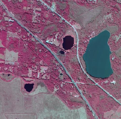
Abstract:
Orthophotos combine the image
characteristics of a photograph with the geometric qualities of a map. The
primary digital orthophotoquad (DOQ) is a 1-meter ground resolution,
quarter-quadrangle (3.75-minute of latitude and 3.75-minute of longitude) image
cast on the Universal Transverse Mercator Projection (UTM) on the North
American Datum of 1983 (NAD83). The normal orientation data is by lines (rows)
and samples (columns). Each contains a series of pixels ordered from west to
east with the order of the lines from north to south. The radiometric image values
are stored as 256 gray levels ranging 0 to 255.
This data is part of the National Aerial Photography Program (NAPP). The imagery is obtained during “leaf off”
conditions with no cloud cover. Not to
be confused with National Agriculture Imagery Program (NAIP) that consists of
data obtained during “leaf on” conditions with up to 10% cloud cover.
Purpose:
Digital orthophotos serve a variety of purposes, from interim maps to references for earth science investigations and analysis. The images are useful as a layer of a geographic information system and as a tool for revision of digital graphs and topographic maps.
These data are prepared for use by the Natural
Resources Conservation Service for
Format: Raster - MrSID compression, with mosaic option.
Spatial Reference Information: Universal Transverse Mercator (UTM), North American Datum of 1983